Regional
Atmospheric
Soaring
Prediction
BLIPMAP FORECASTS
Decentralised forecasts for the Western Cape Province of South Africa (SA, Western Cape).
BLIPMAPTM = Boundary Layer Information Prediction MAP.
This software was created by Dr. John W. (Jack) Glendening, Meteorologist.
These forecasts were run using a locally-run WRF model.
These forecasts have been run on computer(s) and published on a website located in South Africa.
These pages are maintained by Ian Forbes of the Cape Gliding Club.
Bandwidth and computing resources to generate and publish these forecasts has been supplied by ZSD.
We have now got a new server running new versions of WRF software, covering wider areas at higher resolutions. This
has been made possible by:
- Sean of Prepaid Meters, who has sponsored the server hardware and provided hosting for it.
- Darren of rasp.org.uk who has ported the UK models to South Africa, Western Cape and assisted with installing the software
on the new server.
- The new server is maintained by myself, Ian Forbes, but I hope others will be able to contribute to this effort going forwards.
Mailing List:
A mailing list has been setup for pilots and other users of these RASP
forecasts. The list is intended for pilots to discus to give feedback of their experiences with the forecasts and to comment on the
service provided. Please keep posts on subject. Please avoid "personal" or "political" comments.
- Anybody can sign up for the list.
- All subscribed persons can post to the list
- All subscribed persons will receive all posts
Links to Forecasts:
Beta forecasts Basic Viewer
- Beta Model PNG files. These can be downloaded from the page using a URL https://rasp.org.za/beta/[MODEL]/FCST/
where [Model] is ZS2, ZS2+1 ... ZS2+4, ZS12, ZS12+1 ... ZS12+6
Quick Index:
Direct links to most popular parameters over 4 day period.Standard Index:
One per forecast. List to virtually all parameters and previous forecast parameters. Note These allow access to zoomed out 4km charts
where Quick Index defaults to high resolution 1.3km charts.
Directory Indexes:
Many parameters are plotted by RASP. Some are experimental. Not all parameters appear in the index pages however you can view a
directory index of each forecast page to see all the available plots:
Notes on forecasts:
- All times are local South African time, 2 hours earlier than UTC
- Forecast for current + 3 days are now published. "Today" and "tomorrow" forecasts have zoomed in high resolution 1.3km charts as well as larger area 4km
resolution charts. Only 4km charts are generated for longer term forecasts.
- Please check the time information on every graphic, as described below.
Forecast Times:
Please check the date and time indicated at the top of each graphic before looking at the
detail. There are two pieces of information:
-
The date and time that the forecast applies to, this is clearly displayed on each graphic.
-
The time of the latest actual meteorological data that the forecast model was based
on. This is indicated as the number of hours between the last data
and the time of the forecast.
-
Publication times: The approximate time that each forecast becomes available is listed on the
Quick Index page.
-
I have used the terms "today", "tomorrow" etc to refer to forecasts.
These are only valid after the publication time. Thus if you look at the "tomorrow" forecast before the publication time
you will see the "tomorrow" forecast which was published yesterday, which is actually today's forecast. (It takes a glider pilot
to understand this!).
Archives of forecasts have been published here. Forcasts going back to
November 2005 are available. Only the 14h00 forecast for each day is available. When the model was run
multiple times for forecasts 48 hour, 24 hour, 12 hour etc in advance, only the most recent forecast has
been published.
Publishing of archived forecasts is currently done manually (hopefully this will change in the future). In
the meantime I will try and update the archive a few times during the season. If you want access to a recent
forecast that has not yet been published on the archives, send me an e-mail.
Only the raw files are on this site, there are no pretty indexes. You will have to navigate your way to find the
desired year/date and then download the graphics which interest you. (Look at the file names for a recent forecasts
to guide you).
Note there will be some days missing. There were occasions when the model crashed and no forecast
was generated. In these cases there might be an older forecast for the same day available
(eg 24 hour instead of 12 hour). Occasionally you may even find high resolution graphics are from a different
run than the low resolution graphics. Check the headings on each graphic carefully!
There was a redesign of the model in 2013 from April onwards the new forecast with 4km and 1.3km graphics replaced
the old one with 12km and 4km graphics. There was a period of overlap when both models were run, but I have only published
archives of the highest resolution forecasts available.
Some trivial statistics:
(Approximately correct at the time of writing, August 2016). Since we started running these models we have logged:
- Over 11 years of forecasts.
- Up to 365 days forecast per year.
- Up to 5 low resolution and 3 high resolution "window" forecasts per day.
- Up to 139 files published per forecast.
- Originally we downloaded 260 MBytes of raw model data per forecast. But now it is pre-processed so we only
download 15 Mbytes per forecast.
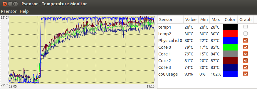
- When the model simulation runs, all 8 CPU's on the computer run at 100% load

and the CPU temperature goes up from under 35C to over 80C
- There are nearly 40GB of files in the archive. Please don't try and download them all. If you want that,
rather send me an e-mail.
Feedback:
If you have any
questions or feedback regarding the RASP software, please join the
RASP forum
and publish your comments there. They will be read by all
users of RASP world wide, including Dr Jack, author of the software.
If you have any queries regarding the local publishing of these pages, please post a message
on the
CGC Discuss mailing list. I assume that most keen users of
these forecasts are already on that list. If you interested in
soaring weather in the area of these forecasts, you are welcome to
subscribe to this list, even if you are not a member of the Cape
Gliding Club.
Problems:
If the forecasts don't appear when expected, or if you find a particular bug, you may e-mail
me directly, or if it is seriously effecting your task planning, you may even send me an SMS, but please don't phone
me either at home or at work.
Disclaimer:
Use this information
entirely at your own risk! There is no guarantee that there will be
any similarity between the forecasts and the actual weather. There
may even be fundamental errors - like I may have typed in the
co-ordinates wrong or that the time clock on my computer may be out
by a few hours!